Nude beaches and indoor swimming in our region
Driving directions to Roppestad
Roppestad is situated by Farris lake outside of Larvik
GPS coordinates: N 59° 09.165' E 9° 54.496'

Drive until you see the sign that marks the descent to Roppestad.
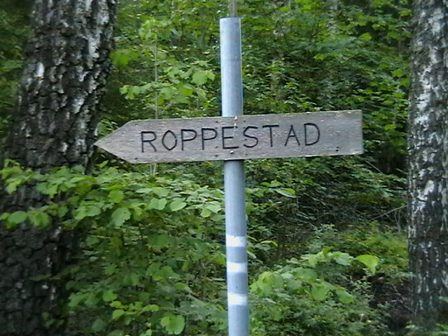
The sign at the turnoff
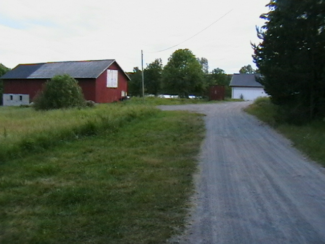
Take the gravel road to a farm with a red barn and a small white house.
Park near the white house if you are on a day visit
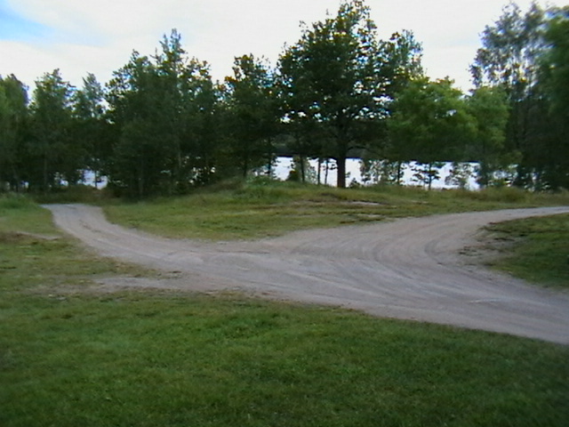
Follow the road right after the white house to the northwest for about 200 meters to go down to the naturist beach (marked with Fristrand).

After passing the white house the road forks and you should then run to the right towards the north-northwest for about 2-300 meters. The road is closed with a chain as there is limited parking down at the beach. Park at the fork and go down if you do not have a caravan, mobile home or a lot to unload!
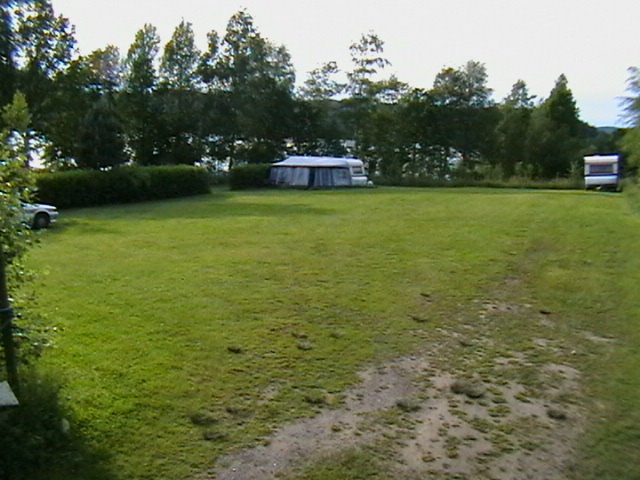
When you see this grassy area in the north end of the site you're there!

In the area down by the shore, there is a brick barbecue with benches and tables around it. You are welcome to use it.

Welcome to Roppestad!
Location
Roppestad fristrand
Farrisveien 863, 3282 Kvelde
Norway
59° 9' 9.9" N, 9° 54' 29.7612" E
NO